


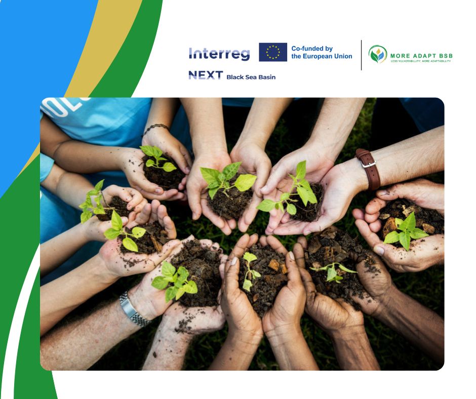
Climate hazards such as extreme heat, drought, floods, wildfires, erosion and sea level rise are becoming an ever-greater challenge for communities around the Black Sea.
Through MoreAdaptBSB, we are working together to turn vulnerability assessments into real tools for action — helping decision-makers see where and how to act first.
What we’re building:
A shared methodology and an online tool that brings together satellite data, GIS-based analysis and climate projections to assess vulnerability and adaptive capacity across the Black Sea region.
What this enables:
Targeted maps and indices that help identify where nature-based measures will have the greatest impact — tailored to the needs of each region.
What comes next:
A robust spatial database to ensure all data and results can be stored, updated and traced over time — making the tool truly practical and sustainable.
Step by step, we’re moving from knowledge to territorial action.
From data to decisions.
From risk to resilience.
 0
0 0
0
 0
0